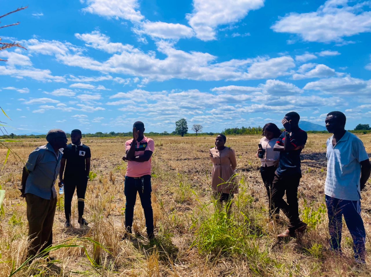
Smart Land Survey
Accurate land surveying is crucial for effective farm management and planning. Our smart land survey services utilize advanced technologies to provide precise land measurements and mapping. Our offerings include:
- GPS & GIS Mapping: We use Geographic Information System (GIS) technology to create detailed maps that aid in land use planning and resource management.
- Drone Survey: Our drone surveys provide high-resolution aerial imagery and data, allowing for detailed analysis of crop health, soil conditions and land features.
- Boundary Demarcation: We accurately demarcate property boundaries to prevent disputes and ensure compliance with legal requirements.